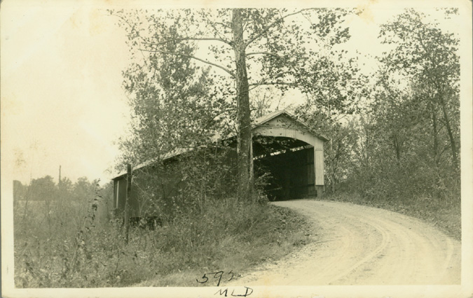
Hillsdale Bridge (original location), Hillsdale, Vermillion County, IN Built 1876 Moved 1973
Todd Clark Collection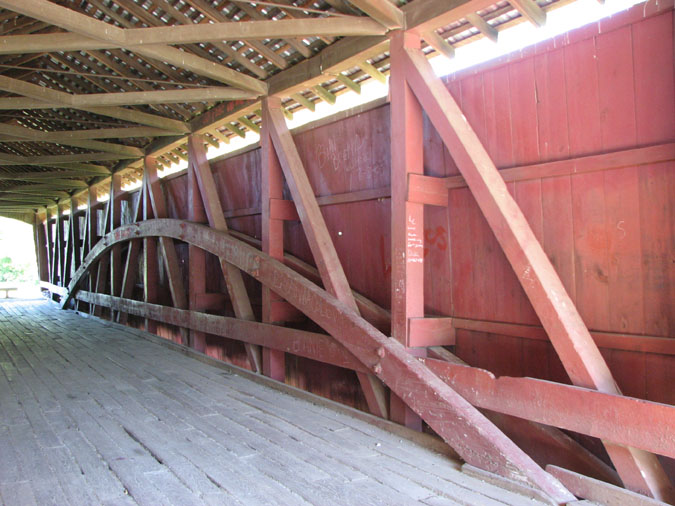
Hillsdale Bridge (relocated), Helt, Vermillion County, IN Built 1876 (1973)
Bill Caswell Photo, July 2007
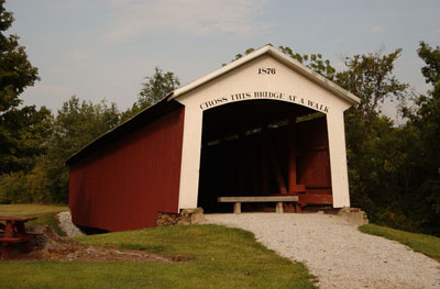
Hillsdale Bridge (relocated location), Helt, IN Built 1876 (1973)
© Lisa Plamondon
Hillsdale Bridge (original location), Hillsdale, Vermillion County, IN Built 1876 Moved 1973
Richard Donovan / Trish Kane Collection
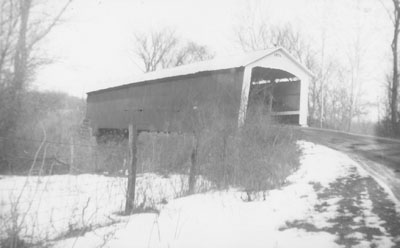
Hillsdale Bridge (original location), Hillsdale, Vermillion County, IN Built 1876 Moved 1973
Richard Donovan / Trish Kane Collection
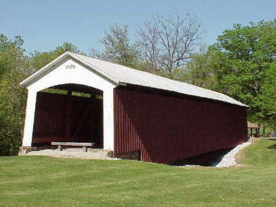
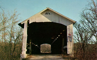
Hillsdale Bridge, Helt, IN Built 1876
Dale J. Travis Photo