| Inventory Number: | NB/55-01-04 | | County: | Albert County | | Township: | Alma | | Town/Village: | | | Bridge Name: | Lower Forty Five #1 | | Crosses: | Forty Five River | | Truss type: | Howe & Queen | | Spans: | 1 | | Length: | 102', 31m | | Roadway Width: | 17' | | Built: | 1914 | | Builder: | Alex Garland | | When Lost: | standing | | Cause: | | | Latitude: | N45 41.198 | | Longitude: | W064 57.187 | | See a map of the area
Topographic map of the area | | Directions: | 1.5 miles (2.4 km) east of jct NB15 on NB114, then 1.2 miles (1.9 km) left and 3.4 miles (5.5 km) left on Barrett/Forty Five Rd. along the eastern border of Fundy Park. | | Comments: | |
|
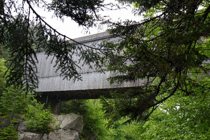
Lower Forty Five #1 Bridge, Alma, Albert County, NB Built 1914
Warren White Photo, June 13, 2011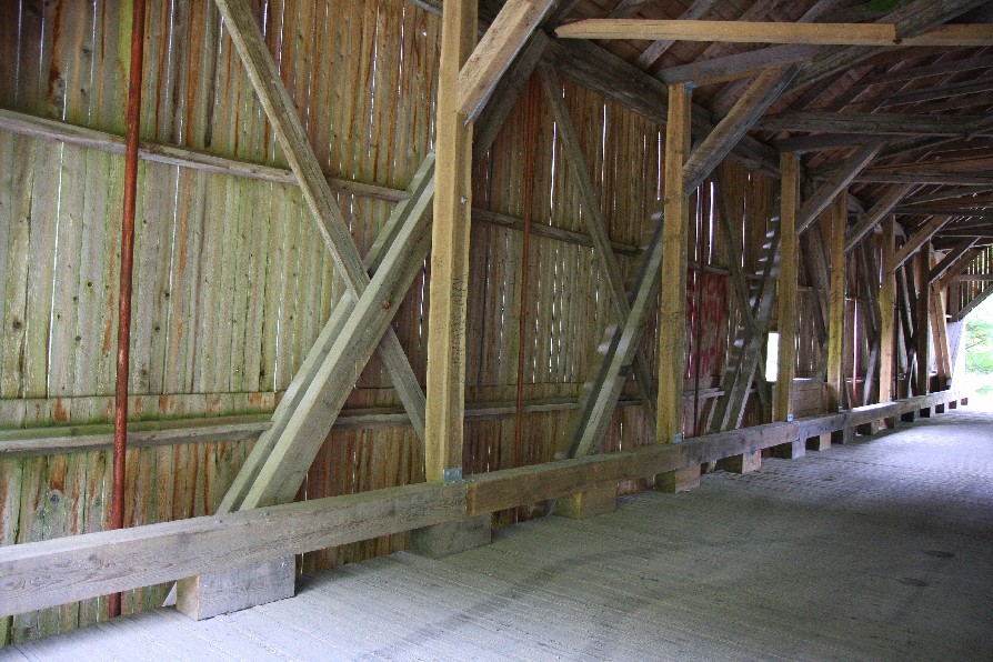
Lower Forty Five #1 Bridge, Alma, Albert County, NB Built 1914
Warren White Photo, June 13, 2011
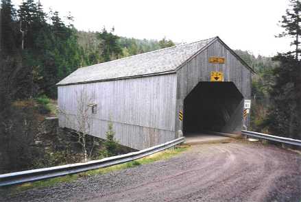
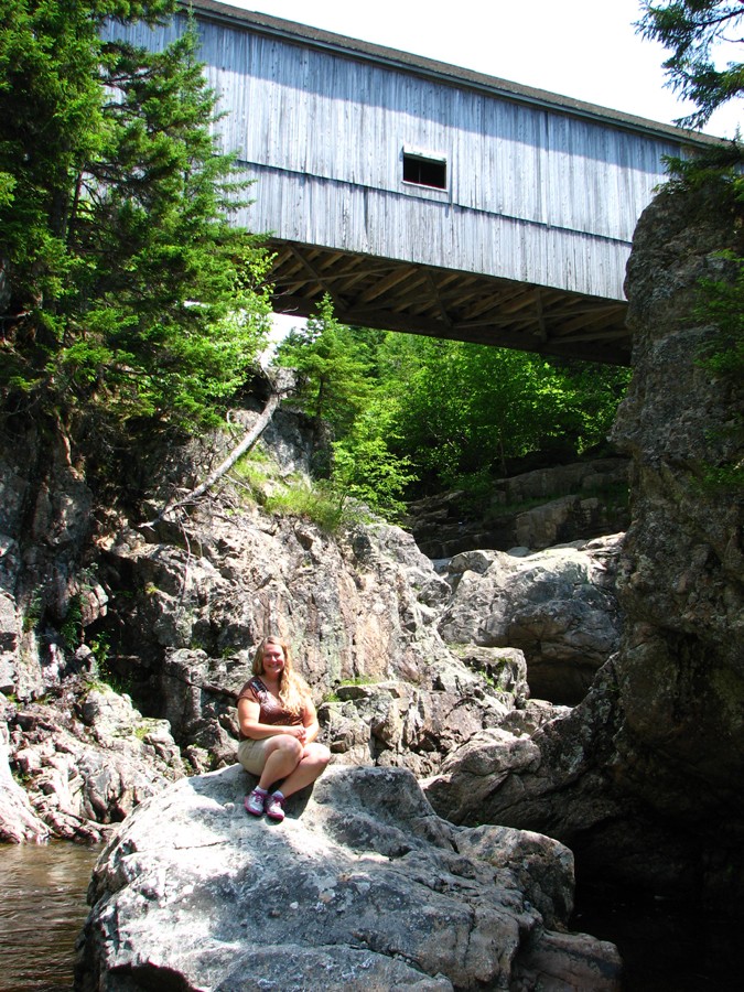
Lower Forty Five #1 Bridge, Alma, Albert County, NB Built 1914
Bill Caswell Photo, May 25, 2003
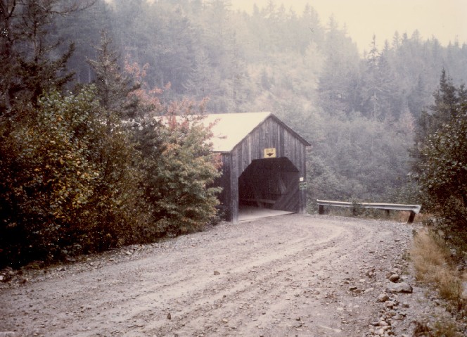
Lower Forty Five #1 Bridge, Alma, Albert County, NB Built 1914
Raymond Brainerd Photo, Richard E. Roy Collection
Lower Forty Five #1 Bridge, Alma, Albert County, NB Built 1914
Bill Caswell Photo, July 7, 2012
|