| Inventory Number: | NB/55-07-05 | | County: | Madawaska County | | Township: | Sainte-Anne | | Town/Village: | | | Bridge Name: | Quisibis River #2 | | Crosses: | Quisibis River | | Truss type: | Howe | | Spans: | 1 | | Length: | 63', 20m | | Roadway Width: | | | Built: | 1952 | | Builder: | | | When Lost: | standing | | Cause: | | | Latitude: | N47 18.302 | | Longitude: | W068 03.507 | | See a map of the area
Topographic map of the area | | Directions: | 4.2 miles (6.8 km) southeast of Rivière-Verte on NB144, then 2.5 miles (4.0 km) left on chemin Lavoie, then 0.2 miles (350 m) right on to bridge on right side of chemin Deschênes. Northwest of Sainte-Anne-de-Madawaska. |
|
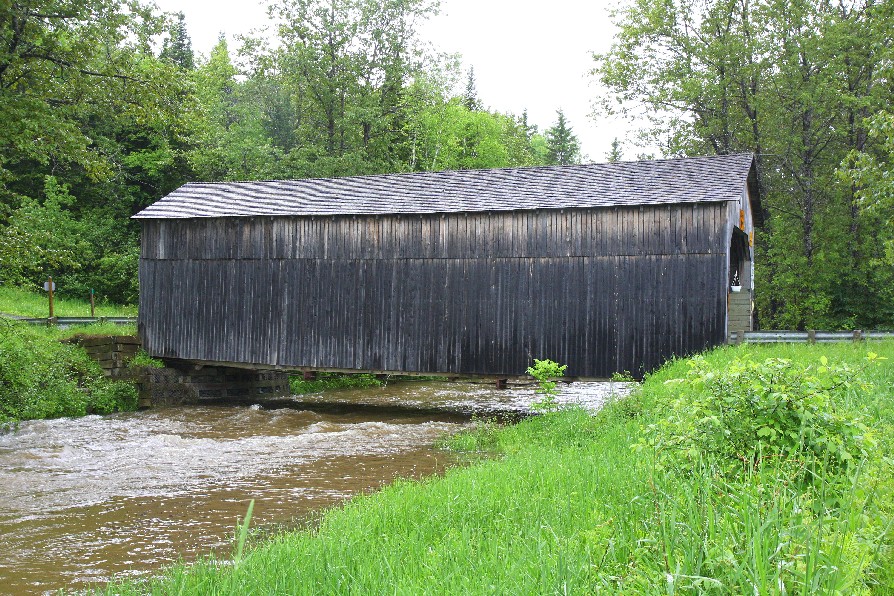
Quisibis River #2 Bridge, Ste. Anne, Madawaska County, NB Built 1952
Warren White Photo, June 18, 2011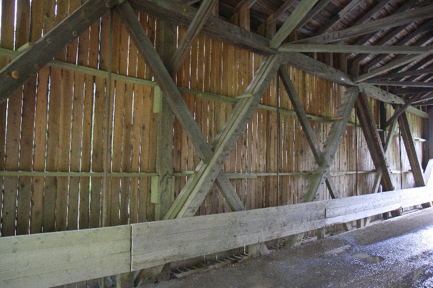
Quisibis River #2 Bridge, Ste. Anne, Madawaska County, NB Built 1952
Warren White Photo, June 18, 2011
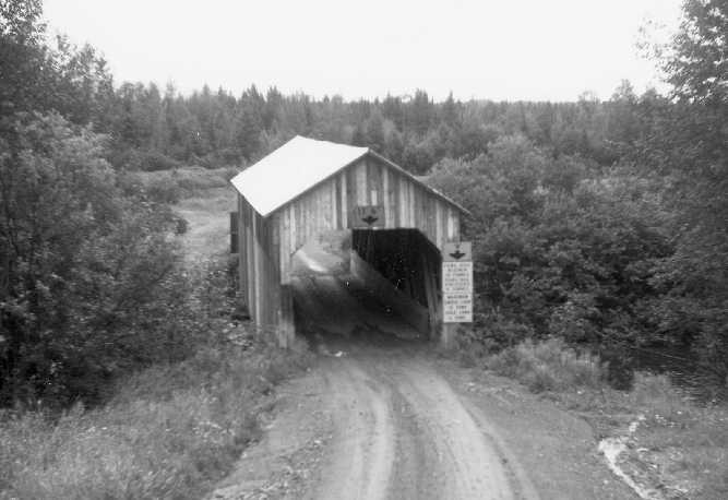
Quisibis River #2 Bridge, Ste. Anne, Madawaska County, NB Built 1952
© Joseph D. Conwill
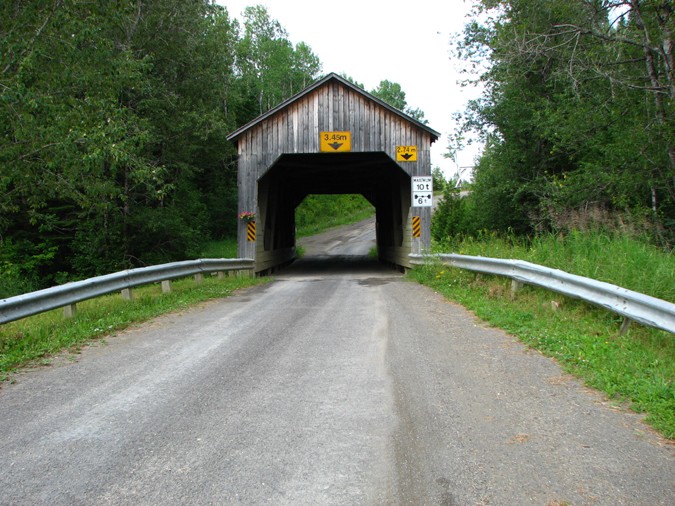
Quisibis River #2 Bridge, Ste. Anne, Madawaska County, NB Built 1952
Bill Caswell Photo, July 14, 2012
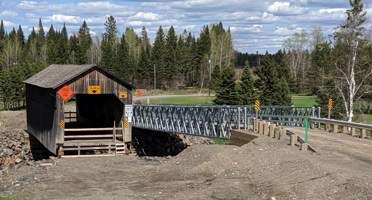
Quisibis River #2 Bridge, Ste. Anne, Madawaska County, NB Built 1952
Bill Caswell Photo, May 24, 2019
|