| SQPC Number: | QC/61-02-13 | | County: | Abitibi-Ouest County | | Township: | Macamic | | Town/Village: | Macamic | | Bridge Name: | Molesworth | | Crosses: | Rivière Loïs | | Truss type: | Town variation | | Spans: | 2 | | Length: | 113', 35m | | Roadway Width: | | | Built: | 1930 | | Builder: | Ministry of Colonization | | When Lost: | standing | | Cause: | | | Latitude: | N48 44.936 | | Longitude: | W078 59.636 | | See a map of the area
Topographic map of the area | | Directions: | 0.4 miles (700 m) south of jct QC111 on QC101, then 0.4 miles (600 m) left on 2e-et-3e Rang (1st Ave. Est). South-southeast of Macamic. | | Comments: | Some sources list the construction date as 1930, which may have been a renovation date. |
|
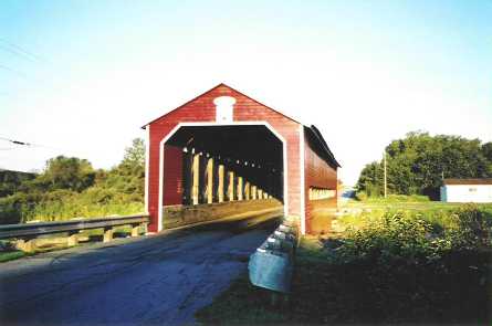
Pont Molesworth or Macamic, Macamic, MRC d'Abitibi-Ouest, QC Built 1917
Bill Caswell Photo, August 30, 2003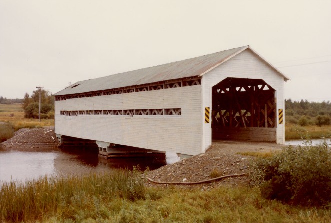
Pont Molesworth or Macamic, Macamic, MRC d'Abitibi-Ouest, QC Built 1917
Richard E. Roy Collection (1973 photo)
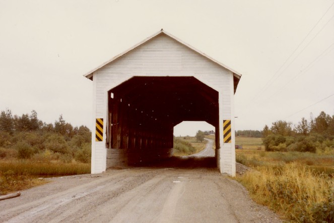
Pont Molesworth or Macamic, Macamic, MRC d'Abitibi-Ouest, QC Built 1917
Richard E. Roy Collection (1973 photo)
|
Sources:
http://www.mtq.gouv.qc.ca/portal/page/portal/grand_public/vehicules_promenade/reseau_routier/structures/ponts_couverts/visite_ponts/abitibi-temiscamingue
Arbour, Gérald & Forest, Gaétan. List of Québec Bridges, 2006
Connecticut River Valley Covered Bridge Society. Bulletin, Abitibi County, Quebec: A Covered Bridge History, Volume XXIX, No. 1, Summer 1982, pages 3-8
National Society for the Preservation of Covered Bridges. World Guide to Covered Bridges, 2021, page 178 |