| SQPC Number: | QC/61-02-39 | | County: | Abitibi-Ouest County | | Township: | Rousseau | | Town/Village: | Villebois | | Bridge Name: | Taschereau | | Crosses: | Rivière Turgeon | | Truss type: | Town variation | | Spans: | 1 | | Length: | 145', 44m | | Roadway Width: | | | Built: | c1944 | | Builder: | Ministry of Colonization | | When Lost: | standing | | Cause: | | | Latitude: | N49 07.591 | | Longitude: | W079 12.026 | | See a map of the area
Topographic map of the area | | Directions: | 6.0 miles (9.6 km) north of Beaucanton on QC393, then 1.8 miles (2.9 km) right on chemin des 8e-et-9e Rangs. East-southeast of Val-Paradis. |
|
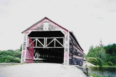
Pont Taschereau, Rousseau, James Bay Municipality, QC Built 1939 or 1950
Bill Caswell Photo, August 30, 2003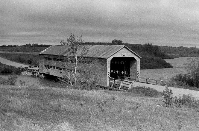
Pont Taschereau, Rousseau, James Bay Municipality, QC Built 1939 or 1950
© Joseph D. Conwill
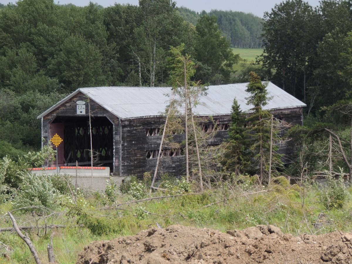
Pont Taschereau, Rousseau, Abitibi-Ouest County, QC Built 1939
Gérald Arbour Photo, July 2018
|
Sources:
"Pont Alphonse-Normandin." Les ponts couverts au Québec. Web. 11 Apr. 2015. < http://www.pontscouverts.com/Pontscouverts2/Taschereau.html >.
Arbour, Gérald & Forest, Gaétan. List of Québec Bridges, 2006
Connecticut River Valley Covered Bridge Society. Bulletin, Volume XXVIII, No. 4, Spring 1982, pages 2-5
Connecticut River Valley Covered Bridge Society. Bulletin, Abitibi County, Quebec: A Covered Bridge History, Volume XXVIII, No. 4, Spring 1982, pages 2-5
National Society for the Preservation of Covered Bridges. World Guide to Covered Bridges, 2021, page 185 |