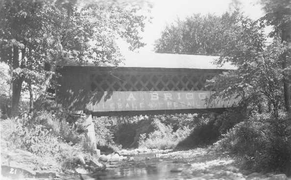
Creamery or Centerville Bridge, Brattleboro, Windham County, VT Built 1879
Richard E. Roy Collection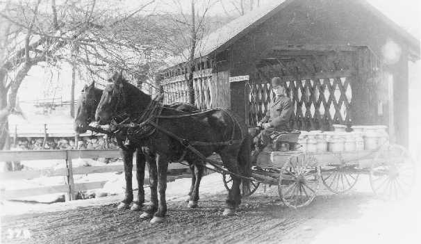
Creamery or Centerville Bridge, Brattleboro, Windham County, VT Built 1879
Richard E. Roy Collection
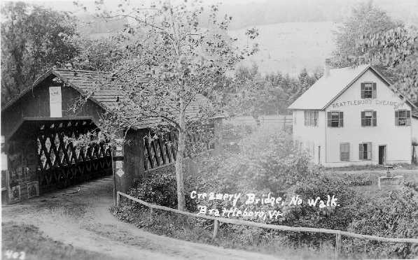
Creamery or Centerville Bridge, Brattleboro, Windham County, VT Built 1879
Richard E. Roy Collection
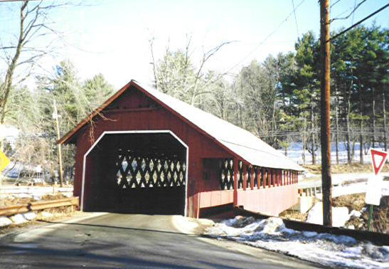
Creamery or Centerville Bridge, Brattleboro, Windham County, VT Built 1879
Bill Caswell Photo
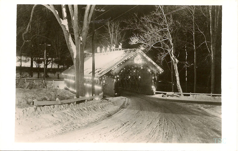
Creamery or Centerville Bridge, Brattleboro, Windham County, VT Built 1879
Todd Clark Collection