| Inventory Number: | VT/45-14-08 | | County: | Windsor County | | Township: | Weathersfield | | Town/Village: | | | Bridge Name: | Upper Falls or Downer's | | Crosses: | Black River | | Truss type: | Town | | Spans: | 1 | | Length: | 120' | | Roadway Width: | | | Built: | 1851 | | Builder: | James F. Tasker | | When Lost: | standing | | Cause: | | | Latitude: | N43 23.909 | | Longitude: | W072 31.329 | | See a map of the area
Topographic map of the area | | Directions: | 0.3 miles west of jct VT106 on VT131, then 0.1 miles left on Upper Falls Rd. Southwest of Amsden. |
|
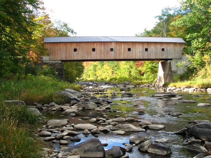
Upper Falls or Downer's Bridge, Weathersfield, Windsor County, VT Built 1840
Bill Caswell Photo, September 25, 2010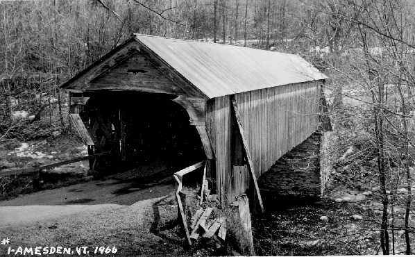
Upper Falls or Downer's Bridge, Weathersfield, Windsor County, VT Built 1840
Richard E. Roy Collection
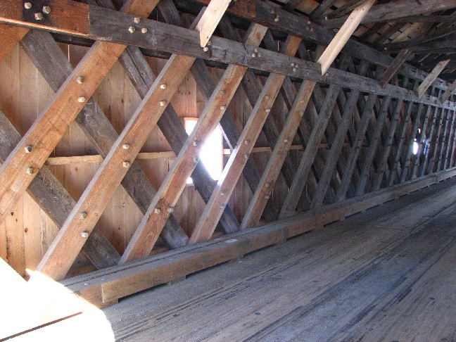
Upper Falls or Downer's Bridge, Weathersfield, Windsor County, VT Built c1840
Bill Caswell Photo, January 26, 2009
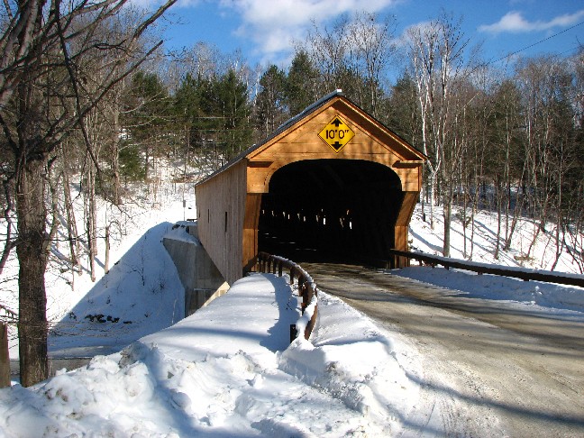
Upper Falls or Downer's Bridge, Weathersfield, Windsor County, VT Built c1840
Bill Caswell Photo, January 26, 2009
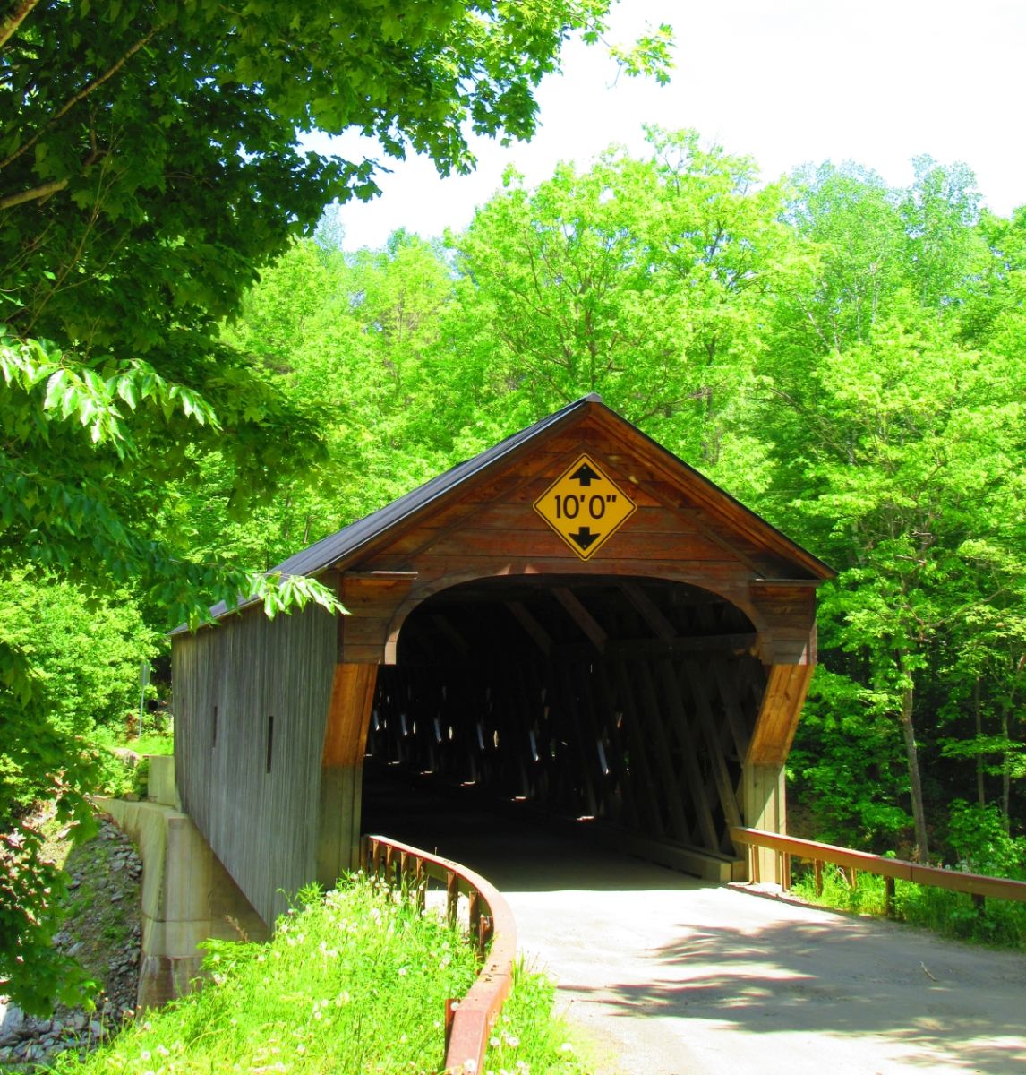
Upper Falls or Downer's Bridge, Weathersfield, Windsor County, VT Built 1840
Jenn Caswell Photo, May 30, 2016
|