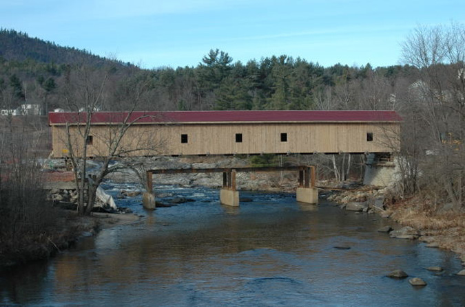
Jay Bridge being reset on its abutments, Jay, Essex County, NY Built 1857
Trish Kane Photo (Nov 2006)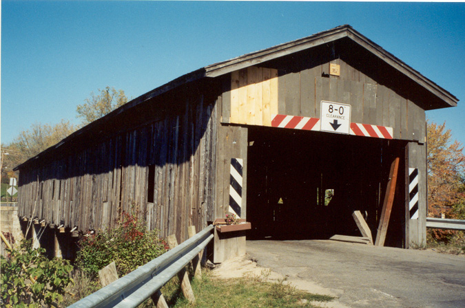
Jay Bridge, Jay, Essex County, NY Built 1857
Trish Kane Photo (Oct 1994)
Jay Bridge, Jay, Essex County, NY Built 1857
Todd Clark Collection
Jay Bridge, Jay, Essex County, NY Built 1857
Todd Clark Collection
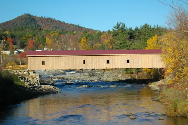
Jay Bridge, Jay, Essex County, NY Built 1857
Trish Kane Photo (Oct. 21, 2007)
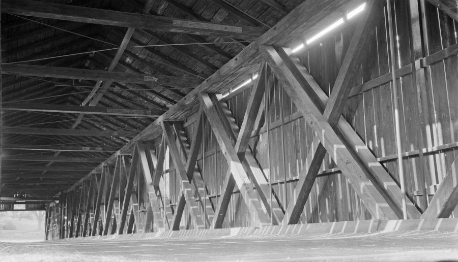
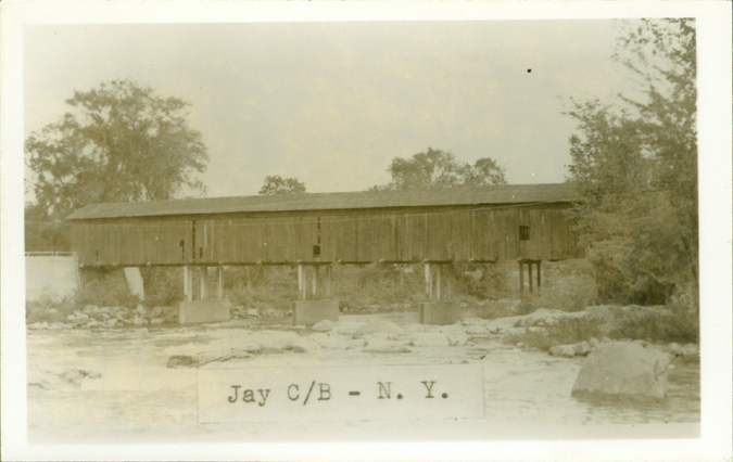
Jay Bridge, Jay, Essex County, NY Built 1857
Richard Sanders Allen Collection, NSPCB Archives, 1940's Photo
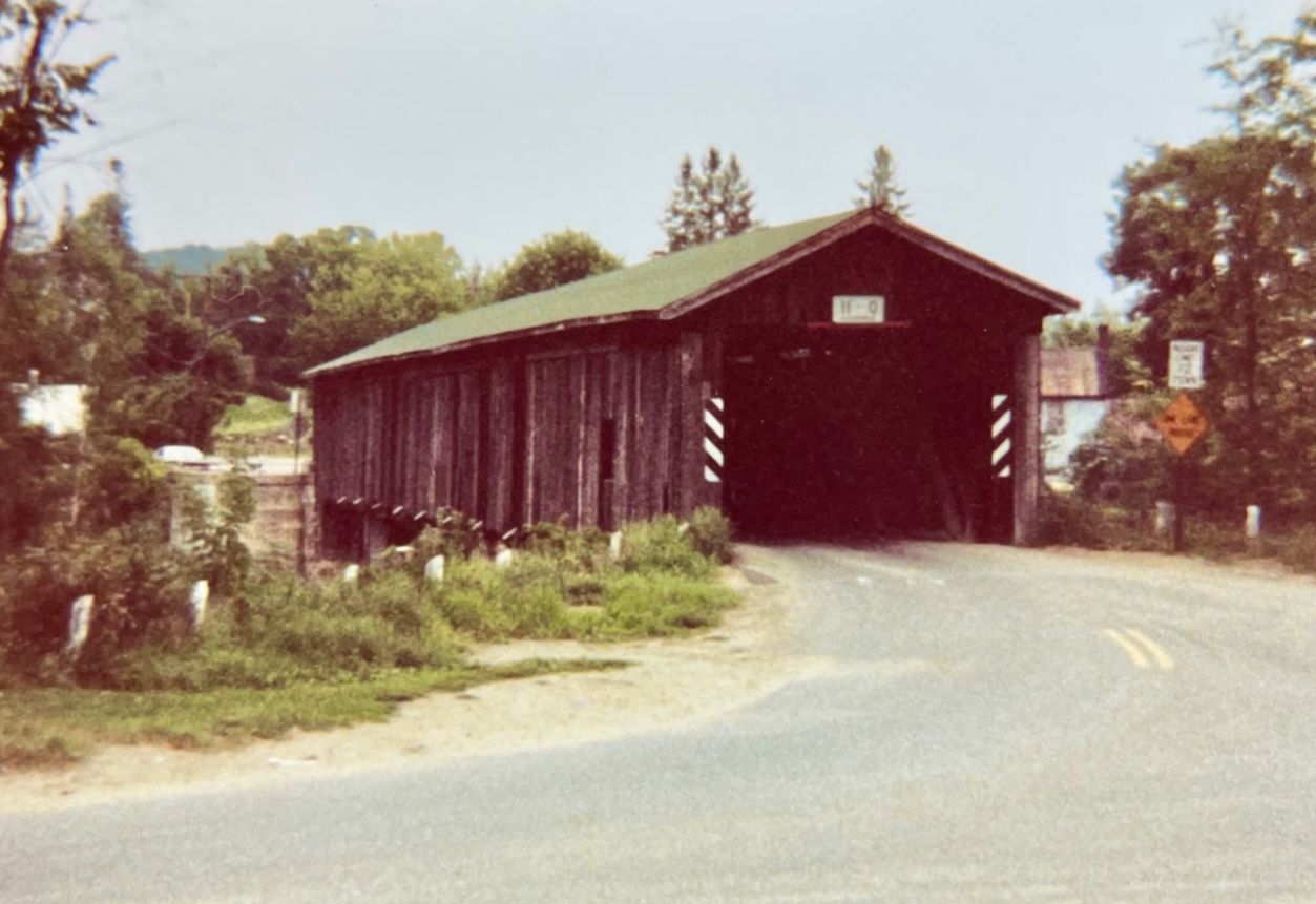
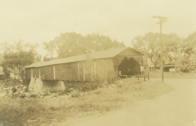
Jay Bridge, Jay, Essex County, NY Built 1857
Paul Chandler Photo, August 1981