| Inventory Number: | OH/35-01-02 | | County: | Adams County | | Township: | Oliver | | Town/Village: | Harshaville | | Bridge Name: | Harshaville | | Crosses: | Cherry Fork, Ohio Brush Creek | | Truss type: | Multiple King & Arch | | Spans: | 1+ | | Length: | 110' | | Roadway Width: | | | Built: | c1855 | | Builder: | | | When Lost: | standing | | Cause: | | | Latitude: | N38 54.472 | | Longitude: | W083 32.620 | | See a map of the area
Topographic map of the area | | Directions: | 1.5 miles south of jct OH32 (Appalachian Highway) on OH247, then 1.3 miles left on Graces Run Rd. (CR1). Southeast of Seamen. |
|
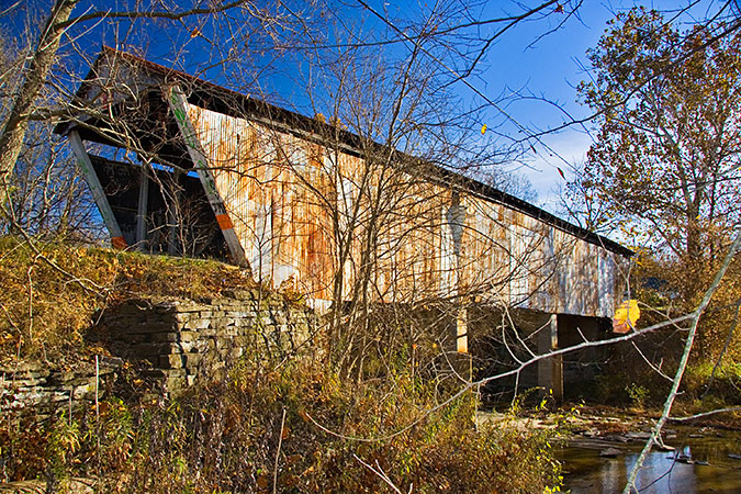
Harshaville Bridge, Oliver, Adams County, OH Built c1855
Larry Cunningham Photo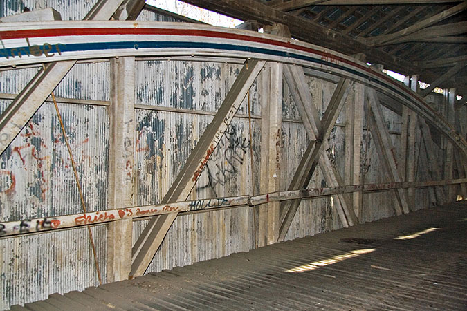
Harshaville Bridge, Oliver, Adams County, OH Built c1855
Larry Cunningham Photo
Harshaville Bridge, Oliver, Adams County, OH Built c1855
Bill Eichelberger Photo, 1989
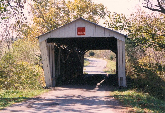
Harshaville Bridge, Oliver, Adams County, OH Built c1855
Traugott Keller Photograph, May 2, 1953, NSPCB Archives
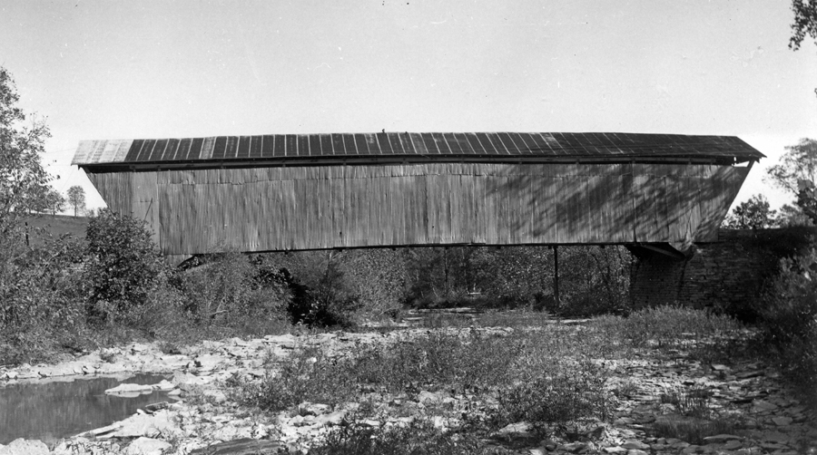
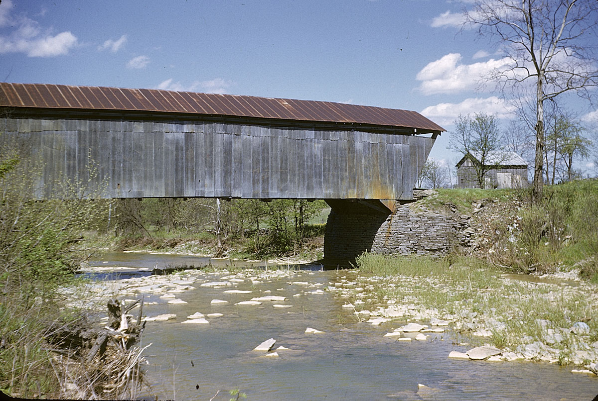
Harshaville Bridge, Oliver, Adams County, OH Built c1855
H. M. MacKenzie Photo, September 29, 1951, NSPCB Archives
|
Sources:
Wood, Miriam. Ohio Covered Bridge Index, Adams County
Wood, Miriam F. & Simmons, David A.. Covered Bridges: Ohio, Kentucky, West Virginia, 2007, pages 113, 134
National Society for the Preservation of Covered Bridges. World Guide to Covered Bridges, 2021, page 61 |