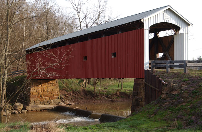
| Inventory Number: | OH/35-84-11 | | County: | Washington County | | Township: | Watertown | | Town/Village: | | | Bridge Name: | Harra | | Crosses: | South Branch, Wolf Creek | | Truss type: | Multiple King with counterbraces | | Spans: | 1 | | Length: | 95' | | Roadway Width: | | | Built: | 1878 | | Builder: | Rolla Merydith | | When Lost: | standing | | Cause: | | | Latitude: | N39 29.270 | | Longitude: | W081 38.867 | | See a map of the area
Topographic map of the area | | Directions: | 2.2 miles north of jct OH676 on OH339, then 0.5 miles left on Camp Hervida Rd. (TR172) to the bridge on the west side of the road. Northwest of Watertown. |
|
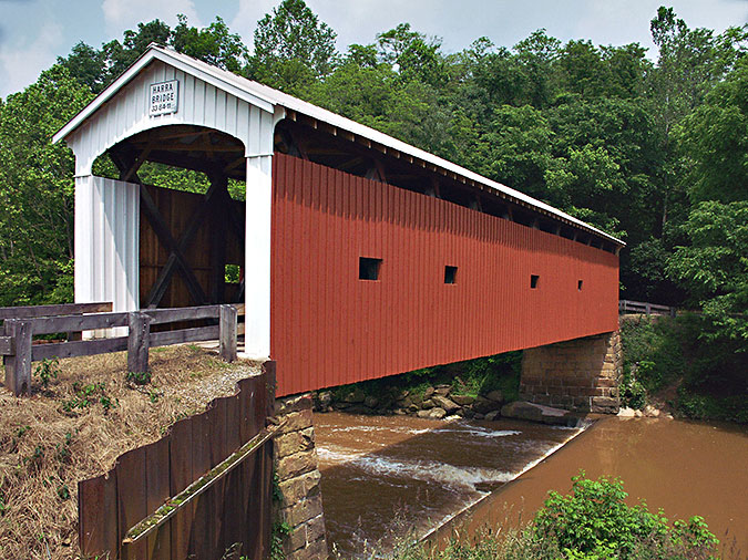
Harra Bridge, Watertown, OH Built 1878
© Lisa Plamondon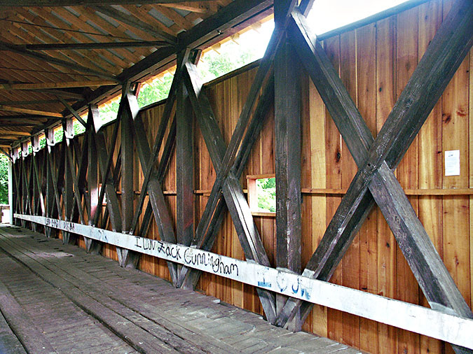
Harra Bridge, Watertown, Washington County, OH Built 1878
Larry Cunningham Photo
Harra Bridge, Watertown, Washington County, OH Built 1878
Larry Cunningham Photo
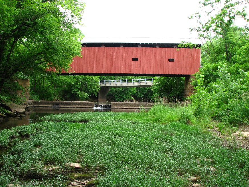
Harra Bridge, Watertown, Washington County, OH Built 1878
Bill Caswell Photo, June 2, 2013
|
Sources:
Travis, Dale. 'Ohio Covered Bridges List', updated to 25 Aug 2004, http://www.dalejtravis.com/cblist/cboh.htm (23 Sep 2004)
National Society For the Preservation of Covered Bridges. Covered Bridge Topics, Volume LXXXIV, No. 3, Summer 2026, pages 9-15.
National Society For the Preservation of Covered Bridges. Covered Bridge Topics, Volume LXXII, No. 1, Winter 2014, pages 10-14
Wood, Miriam. Ohio Covered Bridge Index, Washington County
Wood, Miriam F. & Simmons, David A.. Covered Bridges: Ohio, Kentucky, West Virginia, 2007, pages 98, 100
National Society for the Preservation of Covered Bridges. World Guide to Covered Bridges, 2021, page 87 |