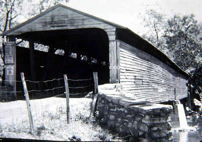
Bernheisel or Hoovers Bridge, Middlesex, Cumberland County, PA. Built 1869 Replaced 1959
Fred Yenerall Photo (1954)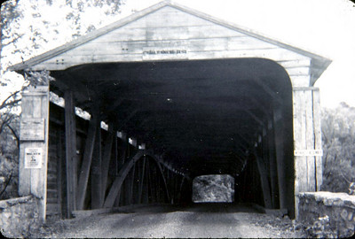
Bernheisel or Hoovers Bridge, Middlesex, Cumberland County, PA. Built 1869 Replaced 1959
Fred Yenerall Photo (1954)

Bernheisel or Hoovers Bridge, Middlesex, Cumberland County, PA. Built 1869 Replaced 1959
Todd Clark Collection

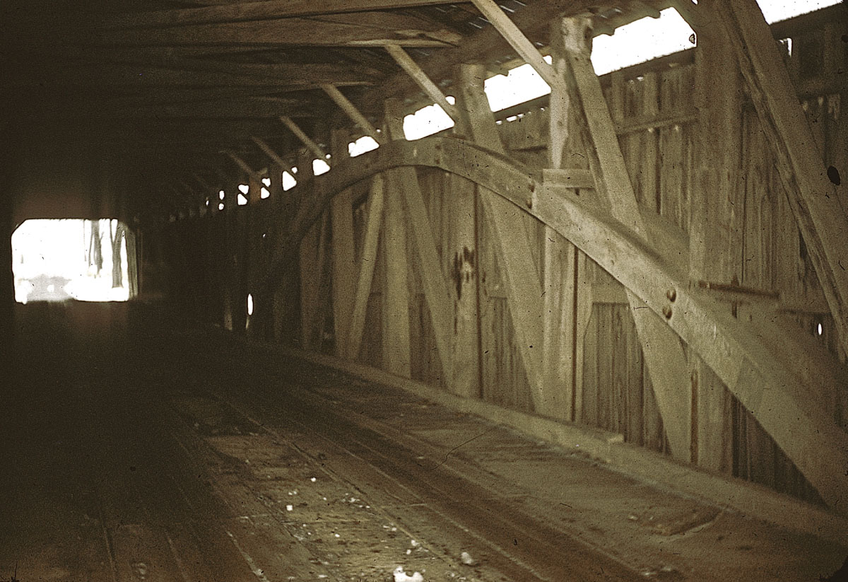
Bernheisel or Hoovers Bridge, Middlesex, Cumberland County, PA. Built 1869 Replaced 1959
Henry C. Falk Photo, Thomas G. Kipphorn Collection
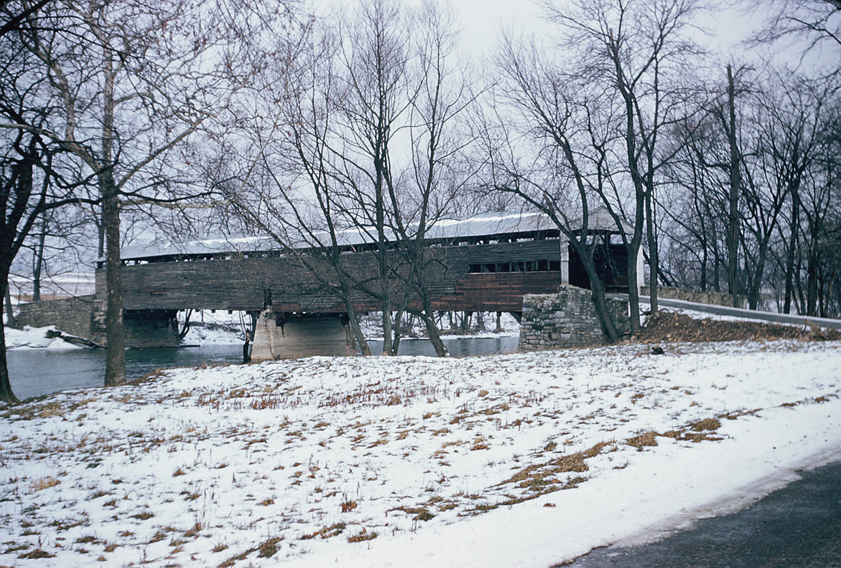
Bernheisel or Hoover's Bridge, Middlesex, Cumberland County, PA. Built 1869 Replaced 1959
Traugott Keller Photograph, February 16, 1955, NSPCB Archives
Bernheisel or Hoover's Bridge, Middlesex, Cumberland County, PA. Built 1869 Replaced 1959
Traugott Keller Photograph, February 16, 1955, NSPCB Archives