| Inventory Number: | PA/38-43-01 | | County: | Mercer County | | Township: | Pymatuning | | Town/Village: | | | Bridge Name: | Kidd's Mill | | Crosses: | Shenango River | | Truss type: | Smith Double | | Spans: | 1 | | Length: | 122', 118'-6" span | | Roadway Width: | 15' | | Built: | 1868 | | Builder: | Smith Bridge Company ? | | When Lost: | standing | | Cause: | | | Latitude: | N41 21.214 | | Longitude: | W080 23.874 | | See a map of the area
Topographic map of the area | | Directions: | 0.6 miles from PA18 in Reynolds on Reynolds Industrial Park Rd. (SR4012) and 0.2 miles right on Kidds Mill Rd (SR471). South of Shenango. |
|
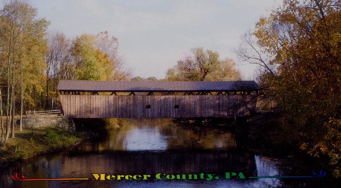
Kidd's Mill Bridge, Pymatuning, Mercer County, PA. Built 1868
Richard Donovan / Trish Kane Collection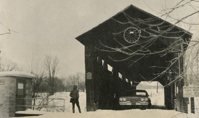
Kidd's Mill Bridge, Pymatuning, Mercer County, PA. Built 1868
Richard Donovan / Trish Kane Collection
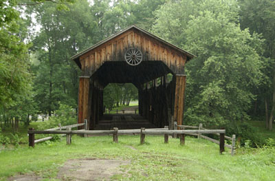
Kidd's Mill Bridge, Pymatuning, Mercer County, PA. Built 1868
© Lisa Plamondon
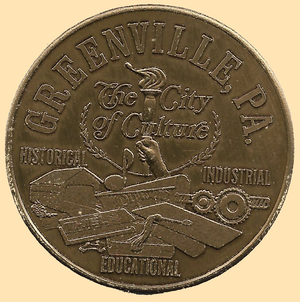
Local medal from 1976 showing Kidd's Mill Bridge, Pymatuning, Mercer County, PA. Built 1868
Bill Caswell Collection
|
Sources:
Evans, Benjamin D. & June R.. Pennsylvania's Covered Bridges, 2001, page 203
Moll, Fred J.. Pennsylvania's Covered Bridges - Our Heritage, 2004, page 21, 116-117
Kipphorn, Thomas. Information received by email, June 2008
Kipphorn, Thomas. Information received by email, May 2008
National Society for the Preservation of Covered Bridges. World Guide to Covered Bridges, 2021, page 122 |