Blue Hill or Red Bridge, Point-Union, Northumberland County, PA. Built 1828 Burned 30 Jun 1923
Todd Clark Collection 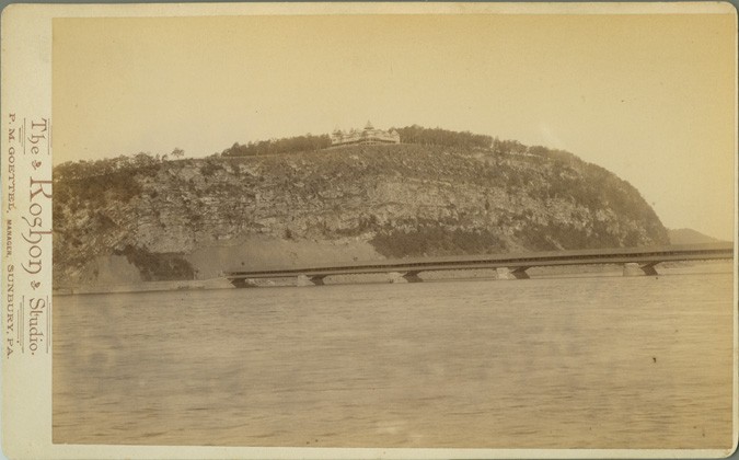
Blue Hill or Red Bridge, Point-Union, Northumberland County, PA. Built 1828 Burned 30 Jun 1923
Todd Clark Collection
Blue Hill or Red Bridge, Point-Union, Northumberland County, PA. Built 1828 Burned 30 Jun 1923
Todd Clark Collection
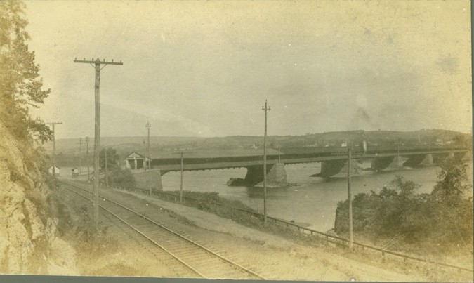
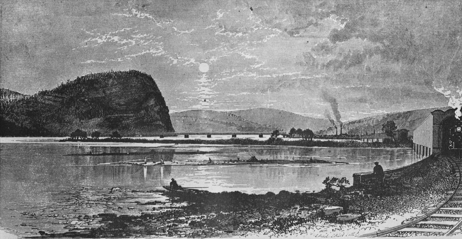
Northumberland-Sunbury or West Tandem Bridge (top), Sunbury and Erie West Tandem Railroad Bridge (middle), Blue Hill or Red Bridge (bottom), Canal Bridge (far left), Northumberland Boro, Northumberland County, PA
Thomas G. Kipphorn Collection
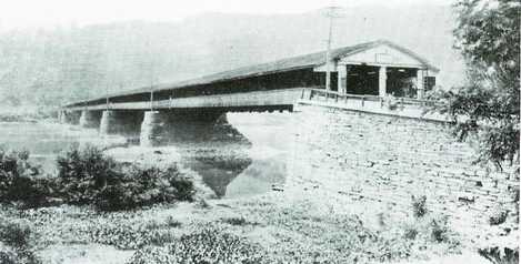
Blue Hill or Red Bridge, Point-Union, Northumberland County, PA. Built 1828 Burned 30 Jun 1923
Courtesy Fred Moll
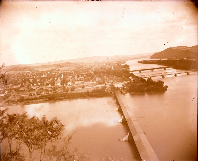
Sunbury East Bridge (foreground right), Sunbury West Bridge (right background) and Blue Hill Bridge (center background)
Richard Sanders Allen Collection, NSPCB Archives
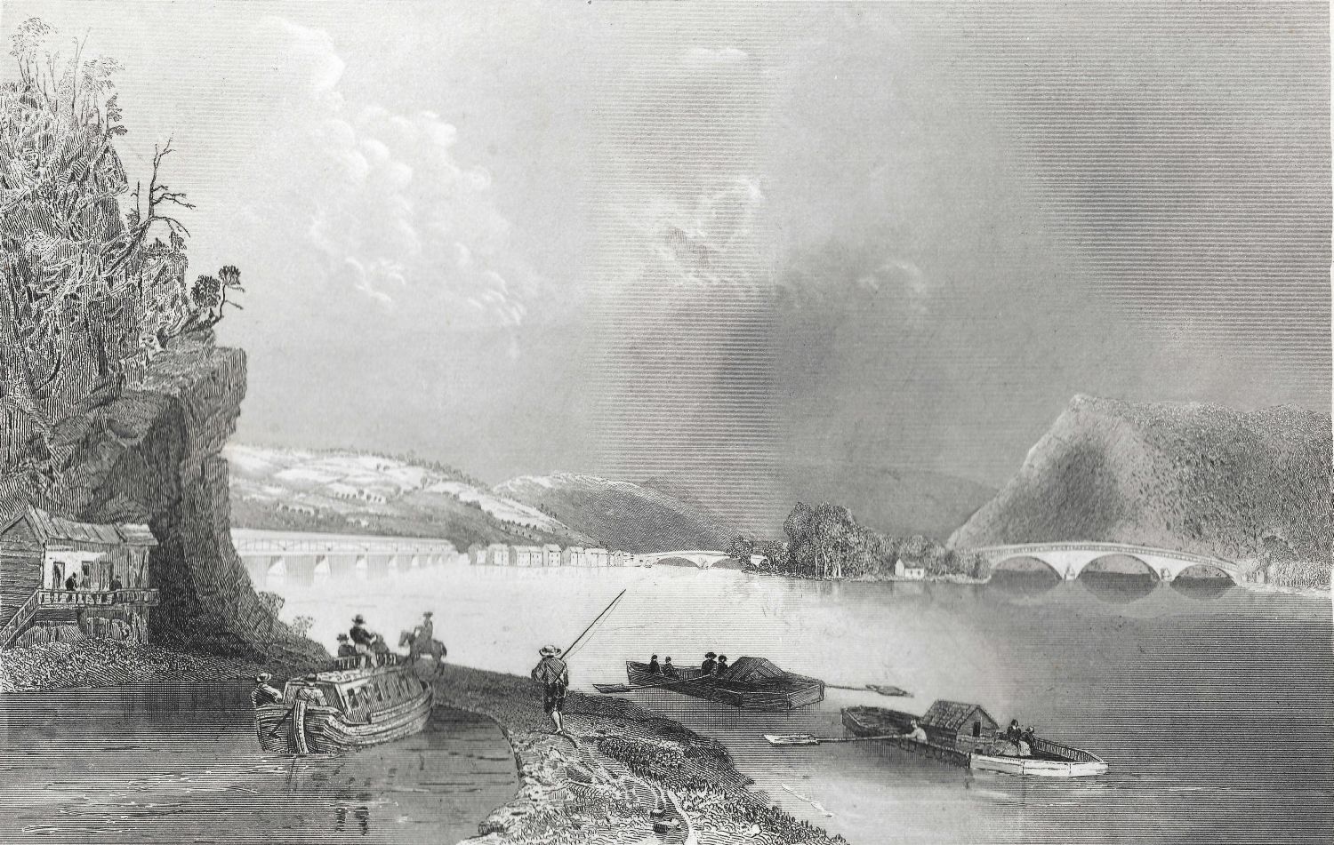
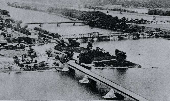
Sunbury East Bridge (foreground right), Sunbury West Bridge (right background) and Blue Hill Bridge (left)
Richard Sanders Allen Collection, NSPCB Archives