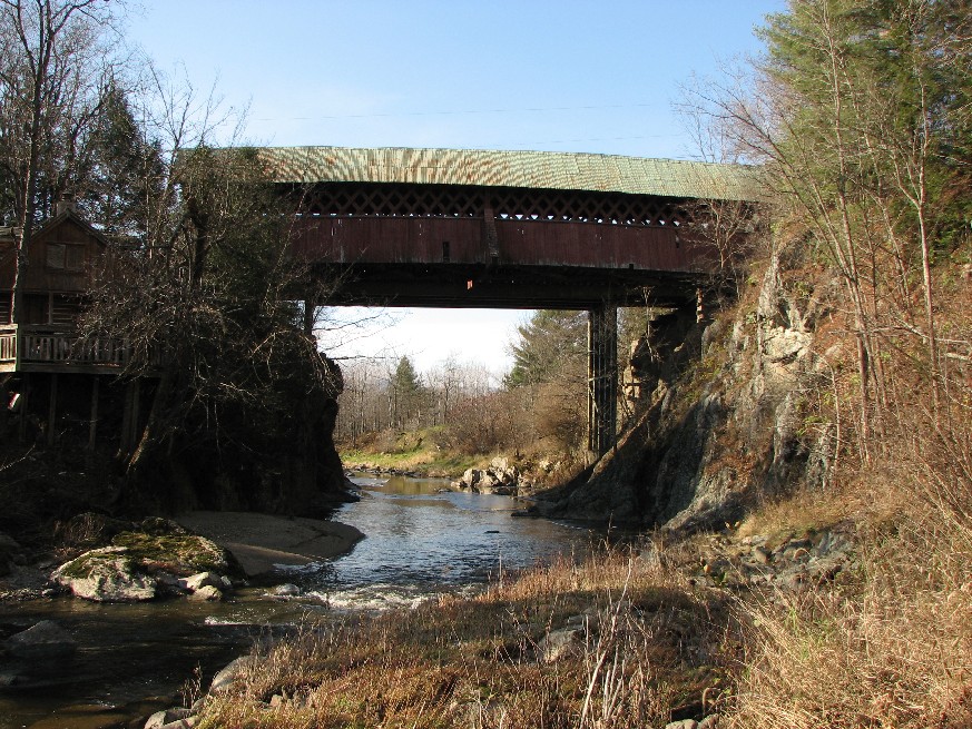
Pont de la Frontière or Province Hill, Mansonville, Cantons de l'Est, QC Built 1896
Bill Caswell Photo, November 2007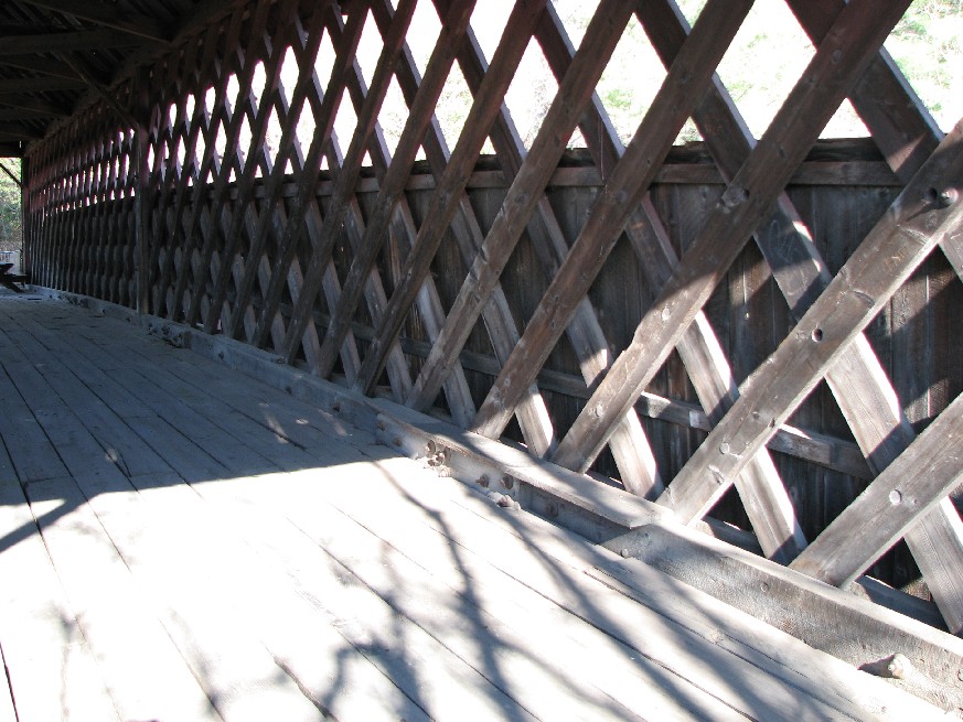
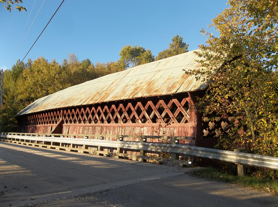
Pont de la Frontière or Province Hill, Mansonville, Cantons de l'Est, QC Built 1896
Bill Caswell Photo, November 2007
Pont de la Frontière or Province Hill, Mansonville, Cantons de l'Est, QC Built 1896
Bill Caswell Photo, September 28, 2013
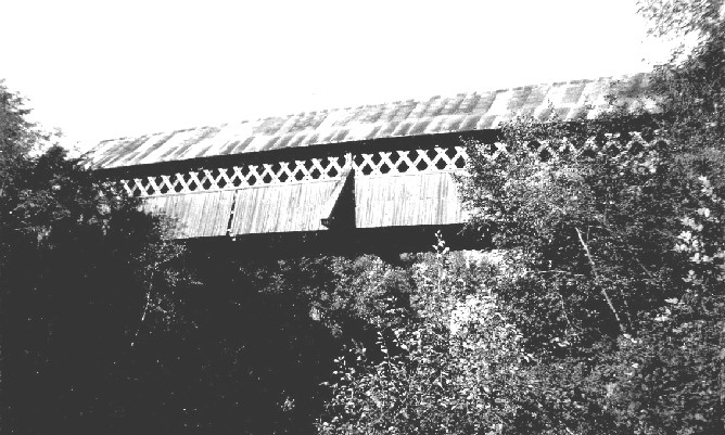
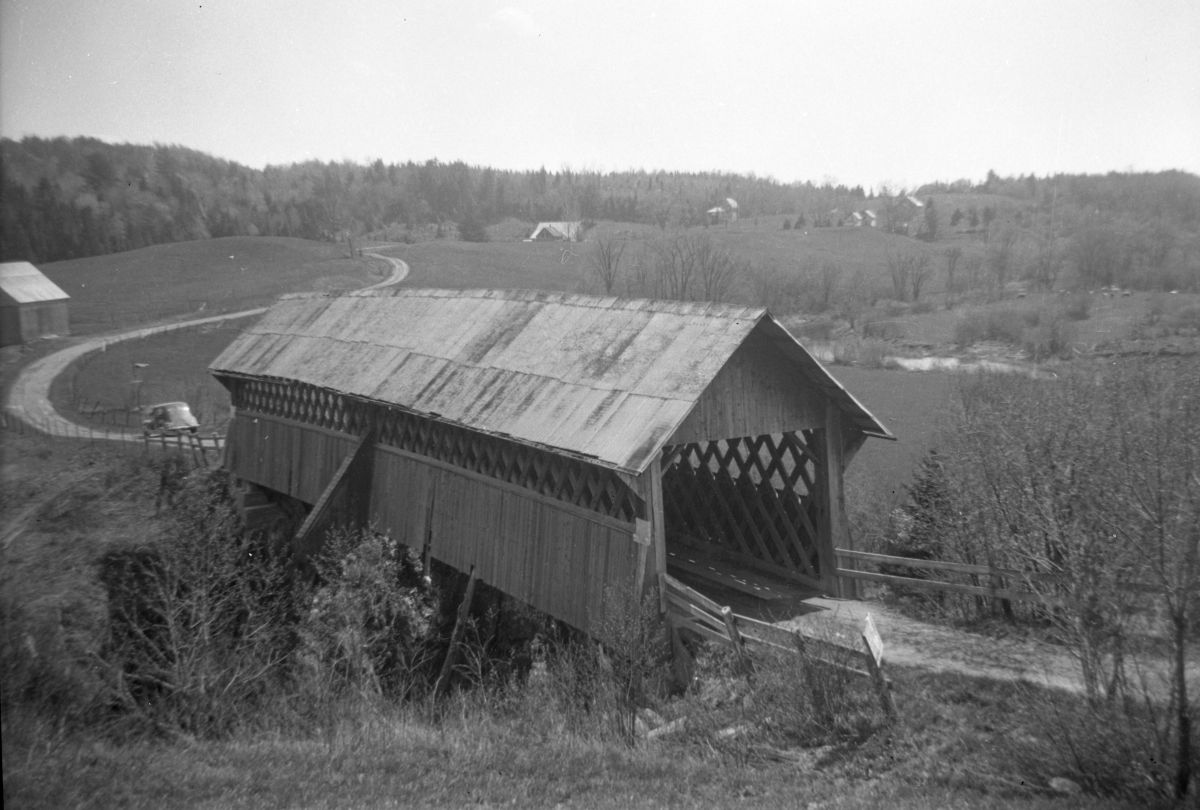
Pont de la Frontière or Province Hill, Mansonville, Cantons de l'Est, QC Built 1896 (1962 photo)
Richard E. Roy Collection
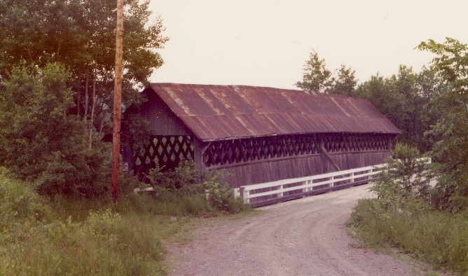
Pont de la Frontière or Province Hill, Mansonville, Cantons de l'Est, QC Built 1896 (1974 photo)
Richard E. Roy Collection
Pont de la Frontière or Province Hill, Mansonville, Cantons de l'Est, QC Built 1896
Richard Sanders Allen Photo, NSPCB Archives