| Inventory Number: | TN/42-23-01 | | County: | Dyer County | | Township: | | | Town/Village: | Trimble | | Bridge Name: | Emerson E. Parks Farm | | Crosses: | dry land | | Truss type: | King | | Spans: | 1 | | Length: | 33' | | Roadway Width: | | | Built: | 1912 (M1997) | | Builder: | | | When Lost: | standing | | Cause: | | | Latitude: | N36 12.283 | | Longitude: | W089 11.506 | | See a map of the area
Topographic map of the area | | Directions: | 0.2 miles east of jct TN211 in Trimble on TN105 and 340 feet left on Parks Plaza (Main St. extension). |
|
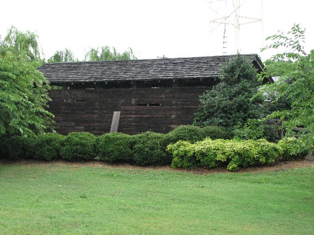
Emerson E. Parks Farm Bridge, Trimble, Dyer County, TN Built 1910 (M1997)
Bill Caswell Photo, July 22, 2008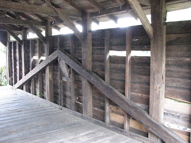
Emerson E. Parks Farm Bridge, Trimble, Dyer County, TN Built 1910 (M1997)
Bill Caswell Photo, July 22, 2008
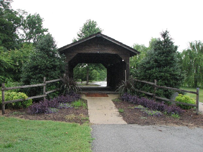
Emerson E. Parks Farm Bridge, Trimble, Dyer County, TN Built 1910 (M1997)
Bill Caswell Photo, July 22, 2008
|